
Research & Data
Superbolt GeoSpy
4.5
(8.0 Views)
#421
Verified
Overview
High-fidelity geospatial intelligence that identifies locations from photographs by analyzing architectural and environmental markers.
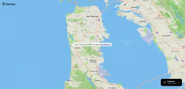
Superbolt GeoSpy functions as a precision geospatial recognition engine designed to extract precise coordinates from visual data by mapping architectural patterns and environmental topology. It facilitates advanced OSINT workflows by bypassing visual interference such as lighting shifts or structural renovations to provide definitive location identification for forensic and investigative purposes.
Best For: OSINT researchers, investigative journalists, and digital forensics specialists.
Pros & Cons:
✅ Precise geospatial coordinate extraction
✅ Bypasses visual lighting shifts
✅ Advanced OSINT forensic workflow
❌ Privacy and ethical concerns
❌ High reliance on visual data
❌ Niche investigative application
Superbolt GeoSpy functions as a precision geospatial recognition engine designed to extract precise coordinates from visual data by mapping architectural patterns and environmental topology. It facilitates advanced OSINT workflows by bypassing visual interference such as lighting shifts or structural renovations to provide definitive location identification for forensic and investigative purposes.
Best For: OSINT researchers, investigative journalists, and digital forensics specialists.
Pros & Cons:
✅ Precise geospatial coordinate extraction
✅ Bypasses visual lighting shifts
✅ Advanced OSINT forensic workflow
❌ Privacy and ethical concerns
❌ High reliance on visual data
❌ Niche investigative application
Top Use Cases
Verifying the geographic origin of crowdsourced media during news events
Identifying specific street-level coordinates from architectural fragments
Pinpointing historical locations despite modern urban structural changes
Cross-referencing satellite imagery with terrestrial photographs for site validation